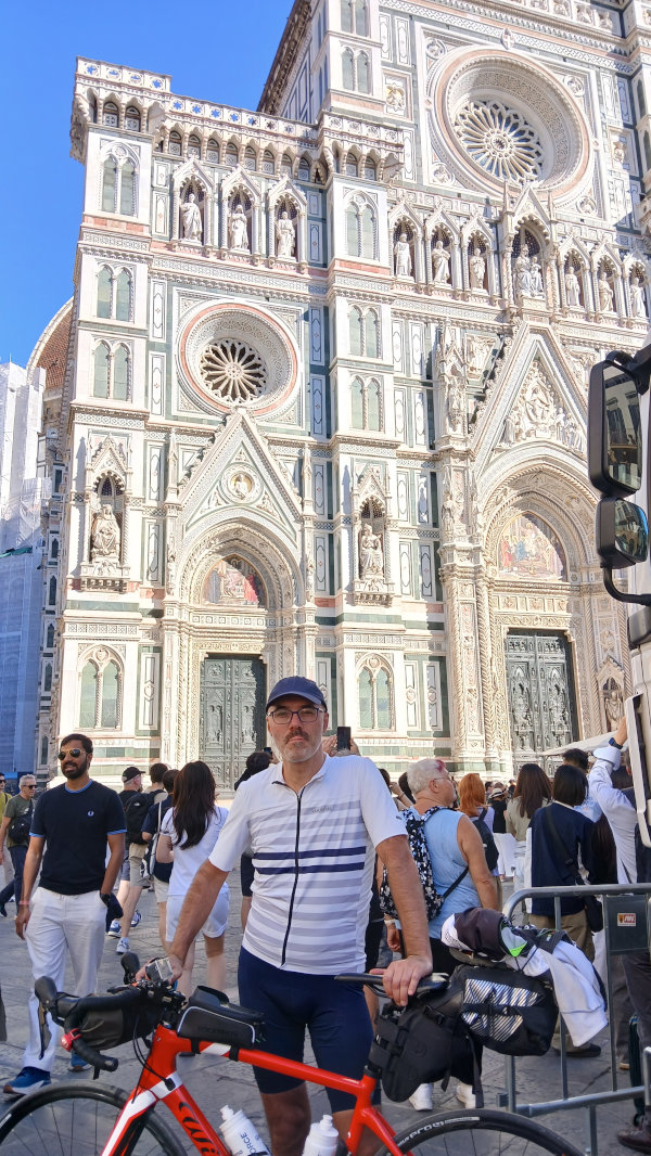
Quest’anno con una settimana di ferie a disposizione, ho deciso di intraprendere l’avventura che partendo in bici da casa mi porterà fino a Firenze. Sicuramente i Video su YouTube che trovate sui link qui a fianco, vi mostreranno più in dettaglio i paesaggi e le strade attraversati.
I giorno: partito da Casa (San Vendemiano) ho seguito la SS13 attraversano il Piave, Treviso, fino ad arrivare a Mestre. Da qui ho attraversato il ponte della libertà, e mi sono imbarcato sul ferry boat per il Lido di Venezia. Attraversato questo altro ferry boat per la Pellestrina, infine un traghetto per raggiungere Chioggia dove ho pernottato.
II giorno: partito da Chioggia mi sono addentrato nel groviglio di strade sul Delta del Pò, attraversando su una chiatta all’altezza di Albarella. Infine arrivo al Lido delle Nazioni dove ho passato la seconda notte.
III giorno: Partito dal Lido delle Nazioni ho attraversato Porto Garibaldi sempre su chiatta subito dopo ho attraversato Ravenna e Forlì da dove sono iniziati gli Appennini. Poco più avanti di Predappio ho passato la terza notte.
IV giorno: partito dal B&B dove ho pernottato, ho iniziato la lunga salita fino al Valico tre Faggi. Da qui lunga discesa e un tratto con l’Arno sulla destra e sono arrivato a Firenze.
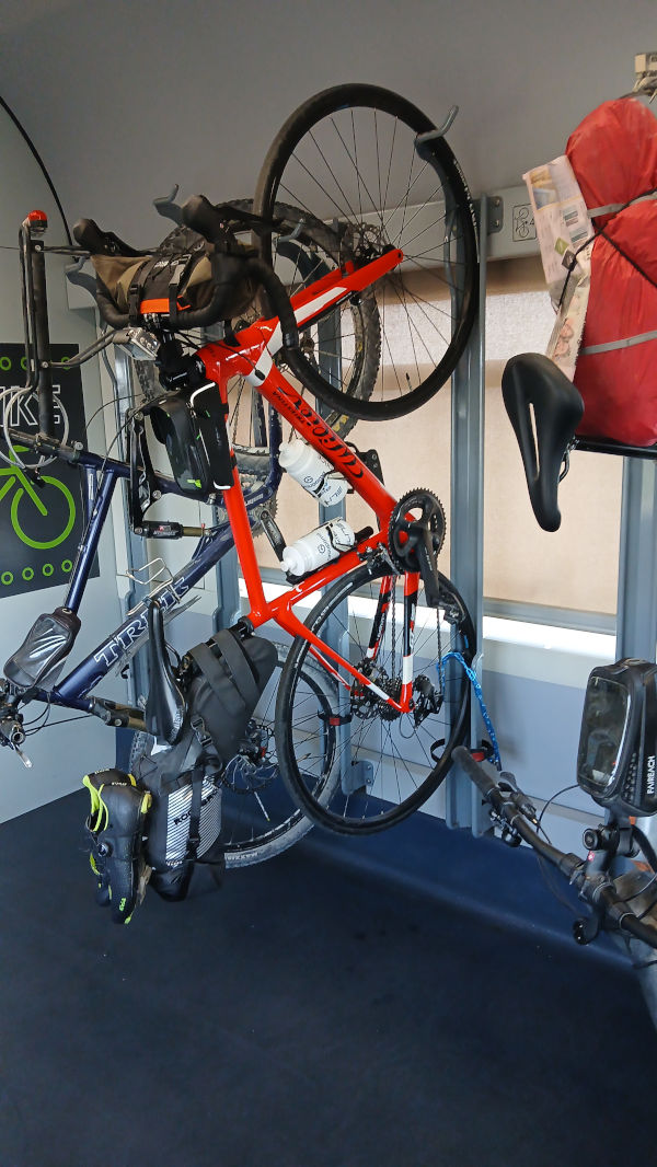
V giorno: rientro in treno da Firenze... l’avventura è finita!
Alcune Segnalazioni per chi volesse intraprendere questa avventura.
I tratti più pericolosi sono dopo il delta del Pò in direzione Ravenna, in quel tratto c’è la zona industriale. La si può evitare facendo lunghi tratti di sterrato (per chi ha la bici da strada può essere un problema).
Altro tratto poco interessante è l’avvicinamento a Firenze sulla strada che fiancheggia l’Arno sul lato sinistro. Qui forse ci sono strade alternative, facendo un pò più di salita (arrivando da Fiesole per esempio).
C’è un passaggio poco segnalato a Mestre poco prima del Ponte della libertà che serve per attraversare i binari. Sul video lo vedete.
Da Casa a Chioggia
Da Chioggia al Lido delle Nazioni
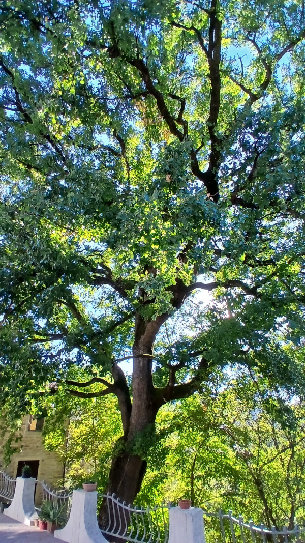
Dal Lido delle Nazioni alla Grande Quercia
Dagli Appennini a Firenze
Tarvisio Bled Klagenfurt
18/09/2025
Il giro che vi racconto oggi è la mia prima esperienza di tour in bici di più giorni, con bagagli agganciati alla bici. Date una occhiata al video YouTube, attendo commenti!!! I giorno Partiamo dalla stazione dei treni di Tarvisio, direzione Slovenia. Saliamo sulla ciclabile Alpe Adria, prima tappa Kranjska Gora. Alla fine della prima giornata ritorneremo qui per pernottare la prima notte.
Proseguiamo sulla ciclabile e all’altezza di Mojstrana svoltiamo a destra su strada normale. Superata una salita con pendenze anche a due cifre, ci addentriamo in una vallata fino al lago Bled. Il lago è bellissimo, molto turistico, qui ci fermiamo per mangiare qualcosa. Nel pomeriggio ripartiamo in direzione Jesenice, incrociamo la strada del mattino a Mojstrana e da qui su ciclabile, torniamo a Kranjska Gora. 100KM percorsi.
II giorno Dopo una buona colazione, prima di partire veramente, andiamo a visitare il lago Jezero Jasna vicino a Kranjska Gora. La prima parte della giornata è caratterizzata dalla scalata al passo che porta dalla Slovenia all’Austria. Sono circa 3 km con pendenze anche del 15%. Ma ancora peggiore è la discesa, con pendenze che arrivano al 20%. La mia preoccupazione erano i freni ma alla fine va tutto bene. Superato il passo ci dirigiamo verso Villach e da qui al lago Wörther See. Lo percorriamo tutto nel lato a sud fino a raggiungere la nostra meta, Klagenfurt. 70KM percorsi.
III giorno Ultimo giorno, partiamo verso le 9.30 in direzione Villach e dopo Tarvisio. Il lago Wörther See questa volta lo percorriamo sul lato nord. Verso mezzogiorno ci fermiamo a Villach per un pranzo veloce. Partiamo verso le 14.00 per raggiungere in 2 ore Tarvisio. Questo tratto è caratterizzato da 6km di sterrato, ma ben battuto. Alle 16.00 raggiungiamo il confine per riprendere la ciclabile alpe Adria e in poco più di 30 minuti siamo alla stazione dei treni di Tarvisio. 80KM percorsi.
Questo primo viaggio in bici ci è servito per capire tante cose, tarare i bagagli, il vestiario, gli alloggi ecc..
Prima cosa i bagagli, tutti della ROCKBROS, ho utilizzato una borsa agganciata al sottosella di circa 10 litri, una borsa agganciata al manubrio da 3 litri e un borsello centrale da 1 litro.
Sulla borsa posteriore ho messo tutto quello che mi serviva per dormire, più un ricambio di vestiario da ciclismo, compreso giacca invernale per la sera, kit per l’igiene personale, carica batterie e sulla parte esterna un paio di sandali di plastica per andare in giro.
Nella borsa anteriore avevo tutto l’occorrente nel caso di pioggia, vestiario nel caso di un calo delle temperature e una camera d’aria.
Infine nel borsello centrale avevo kit per assistenza bici più camera d’aria, documenti, telefono e qualcosa da mangiare.
Per gli alloggi abbiamo optato per appartamenti, soprattutto per poter tenere con noi le bici durante la notte.
Per concludere l’esperienza è stata fantastica. Visitare in bici le citta e i luoghi di parte della Slovenia e dell’Austria è fantastico, penso che avremo fatto il 95% del percorso su pista ciclabile. Ci si ferma quando si vuole dove si vuole. Unica preoccupazione è raggiungere la meta e trovare l’alloggio.
Questo è stato un primo test, sicuramente da rifare anche con più giorni e distanze maggiori.
Guarda il video su YOUTUBE
Passo Manghen
31/10/2022
Today I leave Primolano alone to reach Passo Manghen.
Yes, I know, we are almost in November, but given the temperatures we can still make bike rides at altitudes above 2000 meters above sea level. , incredible.
The first 20 km are on the Brenta cycle path, slightly uphill (starting at an altitude of 200 and in Borgo Valsugana they are around 350 meters).
From here begins the 22 km that lead to the Manghen pass. The first 15 km have some sections that touch 9% gradient, most of them are around 7% on average, it is the last 7 km that the road becomes challenging, it never goes below 9% -10% with sections even at 13%.
The last kilometers of the climb are certainly the most suggestive, at a certain point you realize that you are in a kind of natural amphitheater with an excellent view on the road that climbs towards the pass (I think it would offer an incredible spectacle in the case of a passage of the tour of Italy).
Along the entire route there is excellent signposting for cyclists, about every 2-3 km there is a sign showing the road already taken and the one still to be taken for the pass with the% gradient in the next section; never seen such detailed signage.
I reach the pass around 13.30, the temperature of about 12 ° C above 2000 meters surprises me given the period; at the top there is a hut, but it is closed, I just have to start the long descent.
If you take this tour at the same time of the year, I would like to point out that after 3:00 pm the stretch on the cycle path from Borgo Valsugana to Primolano is largely in the shade. Although it hasn’t rained, the road is wet and slimy.
Pista ciclabile del Brenta
Passo Manghen
Stelvio dal lato Svizzero
17/07/2022
Also this year we climb the Stelvio pass. One of the most iconic bike climbs of our beautiful country.
This time, however, I want to go up from the Swiss side, a side also used for the 2017 tour of Italy.
I leave at 8.00 from Prato dello Stelvio at an altitude of 910 masl . Warm-up pedaling and you will reach Glurns. From here, turn left and start taking the road that will take me to Switzerland.
Shortly after crossing the Italy - Switzerland border, I reach the town of Val Müstair, where a Unesco heritage site resides, the 8th century Benedictine convent of San Giovanni.
A couple of more rides and I reach the village of Santa Maria Val Müstair 1380 masl , in the town center turn left and here I immediately begin to understand what awaits me ... nice ramp above 10% .. so begins the climb that will take me to the Umbrail pass and then to the Stelvio pass.
The first 7 km hardly go below 9% but they are all in the shade of a beautiful forest, up to the bend where you find a nice restaurant with a view of the enchanting Swiss valley. the sun and even if the altitude begins to be above 2000 meters above sea level, if the sun is shining, it is still hot.
Another 6 km and I reach the Umbrail Pass 2510 masl , crossroads for those who want to go down to Bormio or go up to the Stelvio Pass.
Another 3 km at 9% and I finally reach ’The king’ 2750 masl . Here I am waiting for an excellent sandwich with sauerkraut and mustard wustel plus a cold beer, served in front of an incredible panorama, the side of the Stelvio that looks towards ’the stairs’ (this is the name of the last 23 hairpin bends of the Italian side).
Traditional photos and down the 28 km that will take me back to Prato dello Stelvio.
Judgment on the climb on the Italian and Swiss side. The Italian one is more iconic for what it presents itself in front of you when you start facing the final ladders. The Swiss one, however, is certainly more wooded and cool, and above all with less traffic.
Another thing to look out for is the fountains, the last one on the Swiss side is inside the village of Santa Maria Val Müstair after you still have 17 km of climbing. On the Italian side there are 2 fountains, one in front of the Rocca Bianca restaurant and one in the middle of the stairs.
Monastero di San Giovanni
Passo dello Stelvio
Passo Gavia
25/07/2021
Today I fear that I have ventured into an enterprise bigger than me.
IL GAVIA
I take advantage of the day when the motorized traffic on the pass closes and the road is only for us cyclists, to tackle a climb that has made the history of cycling, with companies that have remained in the collective imagination such as the 1988 tour.
I leave not far from Ponte di Legno. The first KM are quiet, until reaching the Red Stone Refreshment. From here begins the real GAVIA.
4-5 km at 12% gradient with peaks of 15%. I immediately understand that if I want to get to the end I have to manage myself. I climb smoothly with a very quiet pedal stroke, and it works. I never go over the top and my legs spin ... I’m climbing this monster ...
When the forest ends the slopes become more digestible ... we are on 10%. The road is wonderful, it follows the ridge of the mountain with no more hairpin bends to the entrance to the tunnel.
In the tunnel the problem is the cold that begins to be felt. When I go out I am also surrounded by clouds, but by now I see the top, there are a couple of hairpin bends. It is still tough, however, and to this is added a compromised road surface. After the last bend and I finally see the refuge , the road is now beautiful as soon as it is paved. It is now done. I feel an incredible sensation, a mixture of satisfaction, joy, the desire to scream at everyone ... I did it, I climbed the GAVIA .
I have two points to point out:
1 - The tunnel, a few kilometers from the summit, is not illuminated on normal days. I found a lighthouse that was also annoying, just because it was the day dedicated to cyclists and for a race in progress. You need a front battery.
2 - After the tunnel there are 3 - 4 hairpin bends with a devastated road surface, there is a risk of drilling.