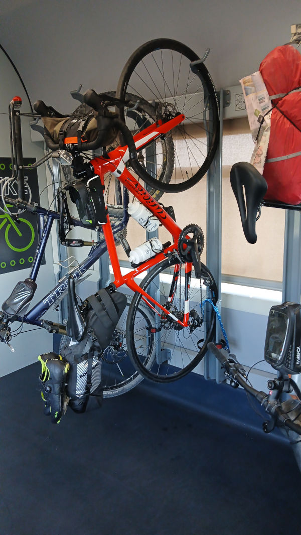
This year, with a week of vacation available, I decided to embark on an adventure that will take me from home by bike to Florence. The YouTube videos linked here will surely show you the landscapes and roads we’ll pass through in more detail.
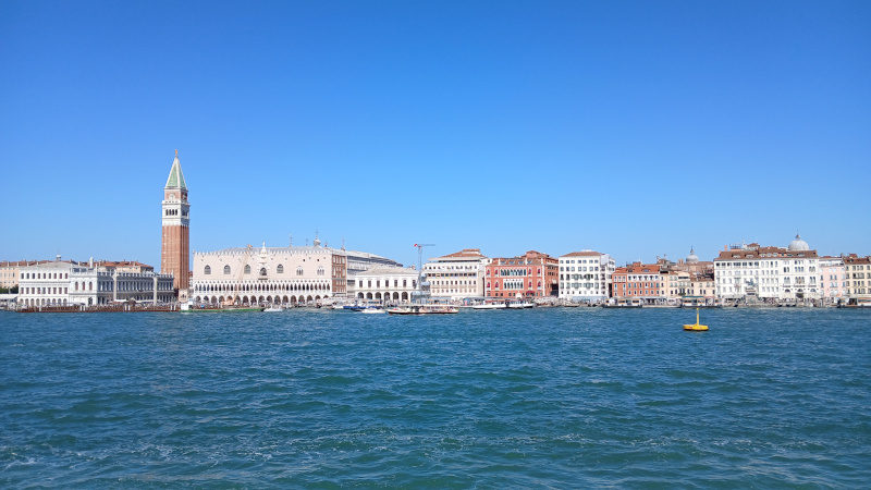
Day 1: Starting from home (San Vendemiano), I followed the SS13 road, crossing the Piave River, Treviso, and arriving in Mestre. From there, I crossed the Ponte della Libertà bridge and boarded the ferry to the Venice Lido. I then took another ferry to Pellestrina, and finally a ferry to Chioggia, where I stayed overnight.
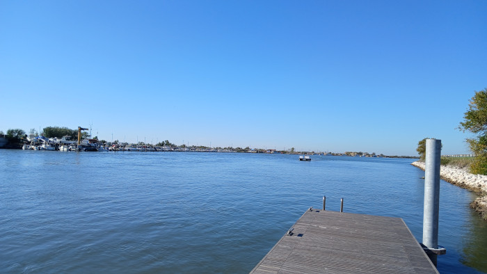
Day 2: Leaving Chioggia, I entered the tangle of roads along the Po Delta, crossing on a barge near Albarella. Finally, I arrived at Lido delle Nazioni, where I spent the second night.
Day 3: I left Lido delle Nazioni and crossed Porto Garibaldi by barge. I then passed through Ravenna and Forlì, where the Apennines begin. I spent the third night just beyond Predappio.
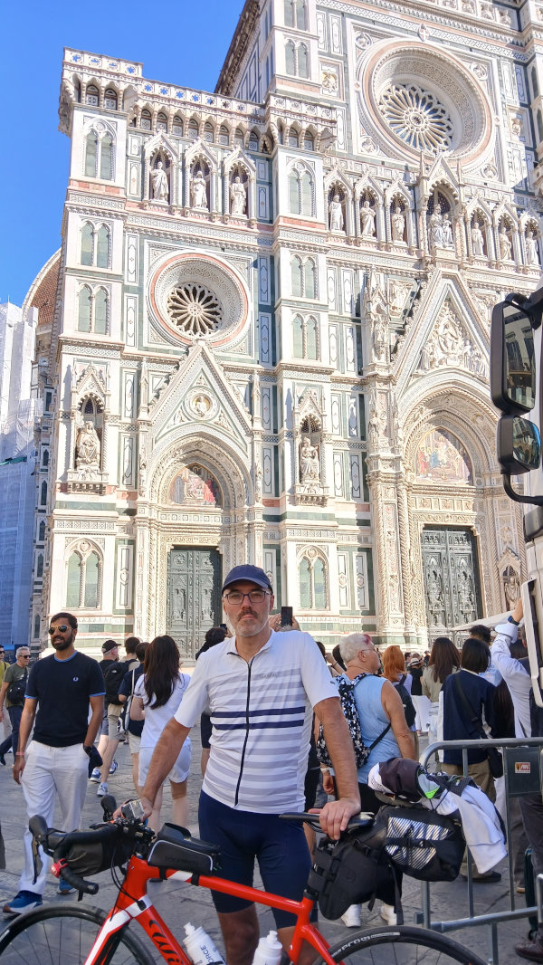
Day 4: I left the B&B where I stayed and began the long climb to Valico Tre Faggi. From there, a long descent and a stretch with the Arno River on my right led to Florence.
Day 5: I returned by train from Florence... the adventure is over!
LI>
Some tips for anyone considering this adventure.
The most dangerous sections are after the Po Delta, heading toward Ravenna; that stretch is an industrial zone. You can avoid it by taking long stretches of dirt road (this could be a problem for road bikers).
Another less interesting section is the approach to Florence on the road that runs alongside the Arno River on the left side. There may be alternative routes here, with a slightly steeper climb (coming from Fiesole, for example).
There is a poorly marked section in Mestre just before the Ponte della Libertà bridge, which is used to cross the train tracks. You can see it in the video.
Da Casa a Chioggia
Da Chioggia al Lido delle Nazioni
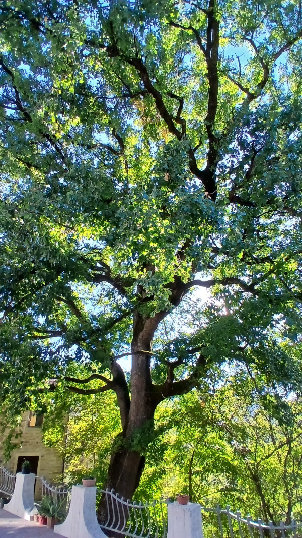
Dal Lido delle Nazioni alla Grande Quercia
Dagli Appennini a Firenze
Tarvisio Bled Klagenfurt
18/09/2025
The ride I’m sharing today is my first multi-day bike tour with luggage strapped to the bike. Day 1 We set off from the Tarvisio train station, heading towards Slovenia. We take the Alpe Adria cycle path, first stopping in Kranjska Gora. At the end of the first day, we’ll return here for our first night.
We continue on the cycle path and at Mojstrana, we turn right onto a normal road. After a climb with gradients in the double digits, we enter a valley all the way to Lake Bled. The lake is beautiful and very popular with tourists; we stop here for a bite to eat. In the afternoon, we set off again towards Jesenice, crossing the morning road in Mojstrana, and from there, we take the cycle path back to Kranjska Gora. 100km covered.
Day II After a hearty breakfast, before we really set off, we head to visit Lake Jasna near Kranjska Gora. The first part of the day is characterized by the climb up the pass that leads from Slovenia to Austria. It’s about 3 km with gradients of up to 15%. But even worse is the descent, with gradients reaching 20%. My concern was the brakes, but in the end, everything turns out fine. After crossing the pass, we head towards Villach and from there to Lake Wörthersee. We follow the southern side of the lake until we reach our destination, Klagenfurt. 70 km covered.
Day III Last day, we leave around 9:30 am towards Villach and then Tarvisio. This time, we follow the northern side of Lake Wörthersee. Around noon, we stop in Villach for a quick lunch. We set off around 2:00 PM, reaching Tarvisio in 2 hours. This stretch is characterized by 6 km of dirt road, but it’s well-beaten. At 4:00 PM, we reach the border to rejoin the Alpe Adria cycle path, and in just over 30 minutes, we’re at the Tarvisio train station. We’ve traveled 80 km.
This first bike trip helped us understand many things, calibrating our luggage, clothing, accommodations, etc.
First, the luggage, all from ROCKBROS. I used a saddlebag with a capacity of about 10 liters, a handlebar bag with a capacity of 3 liters, and a central bag with a capacity of 1 liter.
In the rear bag, I put everything I needed for sleeping, plus a change of cycling clothes, including a winter jacket for the evenings, a personal hygiene kit, a battery charger, and on the outside, a pair of plastic sandals for walking around.
In the front bag, I had everything I needed in case of rain, clothing in case of a drop in temperatures, and an inner tube.
Finally, in the central bag, I had a bike service kit plus an inner tube, documents, a phone, and something to eat.
For accommodation, we opted for apartments, primarily so we could keep our bikes with us overnight.
In conclusion, the experience was fantastic. Cycling through the cities and towns of Slovenia and Austria is fantastic; I think we completed 95% of the route on cycle paths. You can stop whenever you want, wherever you want. The only concern is reaching your destination and finding accommodations.
This was a first test, and one that should definitely be repeated over more days and longer distances.
Guarda il video su YOUTUBE
Passo Manghen
31/10/2022
Today I leave Primolano alone to reach Passo Manghen.
Yes, I know, we are almost in November, but given the temperatures we can still make bike rides at altitudes above 2000 meters above sea level. , incredible.
The first 20 km are on the Brenta cycle path, slightly uphill (starting at an altitude of 200 and in Borgo Valsugana they are around 350 meters).
From here begins the 22 km that lead to the Manghen pass. The first 15 km have some sections that touch 9% gradient, most of them are around 7% on average, it is the last 7 km that the road becomes challenging, it never goes below 9% -10% with sections even at 13%.
The last kilometers of the climb are certainly the most suggestive, at a certain point you realize that you are in a kind of natural amphitheater with an excellent view on the road that climbs towards the pass (I think it would offer an incredible spectacle in the case of a passage of the tour of Italy).
Along the entire route there is excellent signposting for cyclists, about every 2-3 km there is a sign showing the road already taken and the one still to be taken for the pass with the% gradient in the next section; never seen such detailed signage.
I reach the pass around 13.30, the temperature of about 12 ° C above 2000 meters surprises me given the period; at the top there is a hut, but it is closed, I just have to start the long descent.
If you take this tour at the same time of the year, I would like to point out that after 3:00 pm the stretch on the cycle path from Borgo Valsugana to Primolano is largely in the shade. Although it hasn’t rained, the road is wet and slimy.
Pista ciclabile del Brenta
Passo Manghen
Stelvio dal lato Svizzero
17/07/2022
Also this year we climb the Stelvio pass. One of the most iconic bike climbs of our beautiful country.
This time, however, I want to go up from the Swiss side, a side also used for the 2017 tour of Italy.
I leave at 8.00 from Prato dello Stelvio at an altitude of 910 masl . Warm-up pedaling and you will reach Glurns. From here, turn left and start taking the road that will take me to Switzerland.
Shortly after crossing the Italy - Switzerland border, I reach the town of Val Müstair, where a Unesco heritage site resides, the 8th century Benedictine convent of San Giovanni.
A couple of more rides and I reach the village of Santa Maria Val Müstair 1380 masl , in the town center turn left and here I immediately begin to understand what awaits me ... nice ramp above 10% .. so begins the climb that will take me to the Umbrail pass and then to the Stelvio pass.
The first 7 km hardly go below 9% but they are all in the shade of a beautiful forest, up to the bend where you find a nice restaurant with a view of the enchanting Swiss valley. the sun and even if the altitude begins to be above 2000 meters above sea level, if the sun is shining, it is still hot.
Another 6 km and I reach the Umbrail Pass 2510 masl , crossroads for those who want to go down to Bormio or go up to the Stelvio Pass.
Another 3 km at 9% and I finally reach ’The king’ 2750 masl . Here I am waiting for an excellent sandwich with sauerkraut and mustard wustel plus a cold beer, served in front of an incredible panorama, the side of the Stelvio that looks towards ’the stairs’ (this is the name of the last 23 hairpin bends of the Italian side).
Traditional photos and down the 28 km that will take me back to Prato dello Stelvio.
Judgment on the climb on the Italian and Swiss side. The Italian one is more iconic for what it presents itself in front of you when you start facing the final ladders. The Swiss one, however, is certainly more wooded and cool, and above all with less traffic.
Another thing to look out for is the fountains, the last one on the Swiss side is inside the village of Santa Maria Val Müstair after you still have 17 km of climbing. On the Italian side there are 2 fountains, one in front of the Rocca Bianca restaurant and one in the middle of the stairs.
Monastero di San Giovanni
Passo dello Stelvio
Passo Gavia
25/07/2021
Today I fear that I have ventured into an enterprise bigger than me.
IL GAVIA
I take advantage of the day when the motorized traffic on the pass closes and the road is only for us cyclists, to tackle a climb that has made the history of cycling, with companies that have remained in the collective imagination such as the 1988 tour.
I leave not far from Ponte di Legno. The first KM are quiet, until reaching the Red Stone Refreshment. From here begins the real GAVIA.
4-5 km at 12% gradient with peaks of 15%. I immediately understand that if I want to get to the end I have to manage myself. I climb smoothly with a very quiet pedal stroke, and it works. I never go over the top and my legs spin ... I’m climbing this monster ...
When the forest ends the slopes become more digestible ... we are on 10%. The road is wonderful, it follows the ridge of the mountain with no more hairpin bends to the entrance to the tunnel.
In the tunnel the problem is the cold that begins to be felt. When I go out I am also surrounded by clouds, but by now I see the top, there are a couple of hairpin bends. It is still tough, however, and to this is added a compromised road surface. After the last bend and I finally see the refuge , the road is now beautiful as soon as it is paved. It is now done. I feel an incredible sensation, a mixture of satisfaction, joy, the desire to scream at everyone ... I did it, I climbed the GAVIA .
I have two points to point out:
1 - The tunnel, a few kilometers from the summit, is not illuminated on normal days. I found a lighthouse that was also annoying, just because it was the day dedicated to cyclists and for a race in progress. You need a front battery.
2 - After the tunnel there are 3 - 4 hairpin bends with a devastated road surface, there is a risk of drilling.