|
15/08/2021 - Valle d’Aosta |
| Cartografia |
|
Quest’anno siamo in tre a partire per le ferie, e la meta non è il mare ma i monti.
La Valle d’Aosta. Una regione mai visitata che ha destato la mia curiosità.
Curiosità nata guardando la serie TV Rocco Schiavone, girata proprio ad Aosta e nelle località limitrofe.
Questa regione è molto piccola, come si vede dalla cartina, c’è una valle che l’attraversa tutta da Ivrea a Courmayeur, dopo ci sono delle vallate laterali che si addentrano in parchi, laghi e montagne maestose.
Io che sono abituato alle Dolomiti, vedere le montagne delle Alpi occidentali, è un salto deciso verso l’alto.
Noi abbiamo soggiornato nel capoluogo della regione, proprio ad Aosta.
Città di origine Romana che conserva molti monumenti dell’epoca.
Il centro storico merita di essere visitato, in una giornata lo si vede tutto. Partendo sempre Da Aosta ci sono belle piste ciclabili che seguono il fiume principale della regione, la Dora Baltea.
Da Aosta poi ci siamo spostati per vedere paesaggi incredibili:
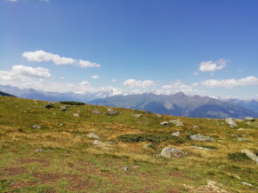
-Località La Pila, proprio sopra Aosta, d’estate è il regno degli escursionisti e di chi fa mountbike, d’inverno invece degli sciatori. Bellissima la malga che abbiamo trovato che vendeva Fontina a KM 0
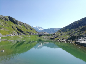
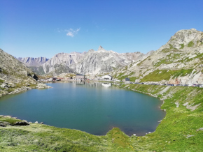
-Il passo San Bernardo al confine con la Svizzera. Ci sono andato due volte in bici da corsa e una con la famiglia. Merita!
-Un pò più distante, Cervinia. Area di escursioni, ai piedi del Cervino versante Italiano.
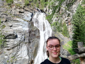
-Cogne, un bel paesino con prati, cascate, dentro il parco del Gran Paradiso.
-Funivia SkyWay che partendo poco dopo Courmayeur 1300, con due tratti ti porta prima al Pavillon 2170 e poi a Punta Helbronner 3466, sopra il ghiacciaio del Monte Bianco
Concludendo questa breve panoramica sul nostro viaggio ad Aosta, non posso che dire, bello!
Mi sa tanto che con l’ospitalità che abbiamo trovato, il mangiare e i paesaggi visti, non posso fare altro che tornarci alla prima occasione.
|
Segnalazioni particolari non ne ho, se non quelle legate al periodo che stiamo vivendo.
quest’estate è entrato in vigore il green pass, proprio due settimane prima della nostra partenza. In poche parole non siamo potuti entrare in castelli, musei o centri sportivi al chiuso come il palaghiaccio. Speriamo che la situazione migliori per il prossimo anno.
|
Distanza percorso : m.
Dislivello : m.
Quota massima : m.
|
|
|
Altimetria Terreno (Scala altezza: 1px=10 metri) (Scala distanza: 1px=10 metri) |
|
|
|
Altimetria Percorso (Scala altezza: 1px=10 metri) (Scala distanza: 1px=10 metri) |
|
|
| Tappe |
| Titolo | La Pila | | Testo | | | Link | | | Allegato | | | Altimetria | da 0 metri a 0 metri | | Distanza | 0 metri in linea d'aria, 0 metri percorsi |
|  | | Titolo | Passo San Bernardo | | Testo | | | Link | | | Allegato | | | Altimetria | da 0 metri a 0 metri | | Distanza | 0 metri in linea d'aria, 0 metri percorsi |
|  | | Titolo | Passo San Bernardo | | Testo | | | Link |  | | Allegato | | | Altimetria | da 0 metri a 0 metri | | Distanza | 0 metri in linea d'aria, 0 metri percorsi |
|  | | Titolo | Cogne | | Testo | | | Link | | | Allegato | | | Altimetria | da 0 metri a 0 metri | | Distanza | 0 metri in linea d'aria, 0 metri percorsi |
|  | | Titolo | Sky way | | Testo | | | Link |  | | Allegato | | | Altimetria | da 0 metri a 0 metri | | Distanza | 0 metri in linea d'aria, 0 metri percorsi |
| 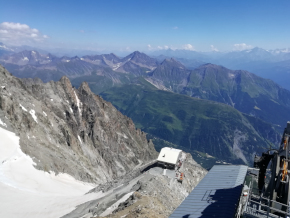 | | Titolo | Monte bianco | | Testo | | | Link | | | Allegato | | | Altimetria | da 0 metri a 0 metri | | Distanza | 0 metri in linea d'aria, 0 metri percorsi |
| 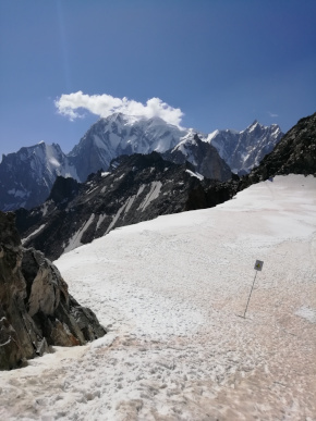 | | Titolo | Ghiacciao | | Testo | | | Link | | | Allegato | | | Altimetria | da 0 metri a 0 metri | | Distanza | 0 metri in linea d'aria, 0 metri percorsi |
| 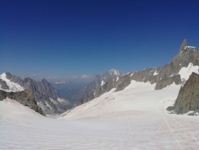 | | Titolo | Castello di Fenis | | Testo | | | Link |  | | Allegato | | | Altimetria | da 0 metri a 0 metri | | Distanza | 0 metri in linea d'aria, 0 metri percorsi |
| 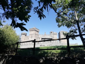 | | Titolo | Monte Cervino | | Testo | | | Link | | | Allegato | | | Altimetria | da 0 metri a 0 metri | | Distanza | 0 metri in linea d'aria, 0 metri percorsi |
| 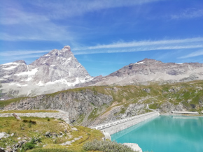 | | Titolo | Compagnia dell’anello | | Testo | Dietro di noi il Cervino | | Link | | | Allegato | | | Altimetria | da 0 metri a 0 metri | | Distanza | 0 metri in linea d'aria, 0 metri percorsi |
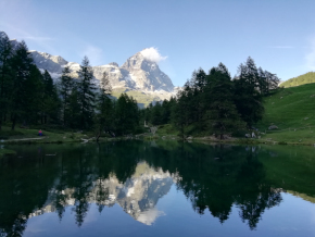
|  | | Titolo | Lago Blu | | Testo | | | Link | | | Allegato | | | Altimetria | da 0 metri a 0 metri | | Distanza | 0 metri in linea d'aria, 0 metri percorsi |
|  |
|
|