|
31/10/2022 - Passo Manghen |
| Cartografia |
|
Oggi parto in solitaria da Primolano per raggiungere il Passo Manghen.
Si lo so, siamo quasi a Novembre, ma viste le temperature riusciamo ancora a fare giri in bici a quote superiori ai 2000 metri s.l.m. , incredibile.
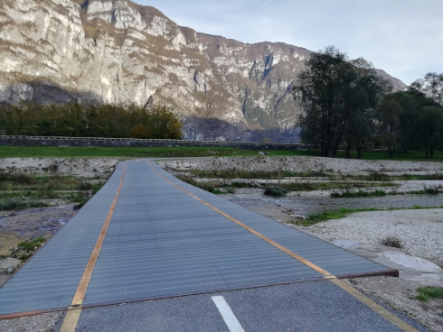
I primi 20 km sono sulla ciclabile del Brenta, in leggera salita (si parte da quota 200 e a Borgo Valsugana sono intorno ai 350 metri).
Da qui iniziano i 22 km che portano al passo Manghen. I primi 15 km hanno alcuni tratti che toccano il 9% di pendenza, la maggior parte è intorno al 7% di media, sono gli ultimi 7 km che la strada si fa impegnativa, non va mai sotto il 9%-10% con tratti anche al 13%.
Gli ultimi chilometri della salita sono sicuramente i più suggestivi, a un certo punto ci si rende conto di trovarsi in una specie di anfiteatro naturale con una visuale ottima sulla strada che sale verso il passo (penso offrirebbe uno spettacolo incredibile nel caso di un passaggio del giro d’Italia).
Lungo tutto il percorso c’è una segnaletica ottima per i ciclisti, ogni 2-3 km circa c’è un cartello che mostra la strada già fatta e quella ancora da fare per il passo con la % di pendenza nel tratto successivo; mai vista una segnaletica così dettagliata.
Raggiungo il passo verso le 13.30, la temperatura di circa 12 C° sopra i 2000 metri mi sorprende visto il periodo; in cima c’è una malga, ma è chiusa, non mi resta che iniziare la lunga discesa.
|
Se fate questo giro nello stesso periodo dell’anno, vi segnalo che dopo le 15:00 il tratto sulla ciclabile da borgo Valsugana fino Primolano è in gran parte all’ombra. Nonostante non abbia piovuto la strada risulta bagnata e viscida.
|
Distanza percorso : m.
Dislivello : m.
Quota massima : m.
|
|
|
Altimetria Terreno (Scala altezza: 1px=15 metri) (Scala distanza: 1px=15 metri) |
|
|
|
Altimetria Percorso (Scala altezza: 1px=15 metri) (Scala distanza: 1px=15 metri) |
|
|
| Tappe |
| Titolo | Pista ciclabile del Brenta | | Testo | | | Link |  | | Allegato | | | Altimetria | da 0 metri a 0 metri | | Distanza | 0 metri in linea d'aria, 0 metri percorsi |
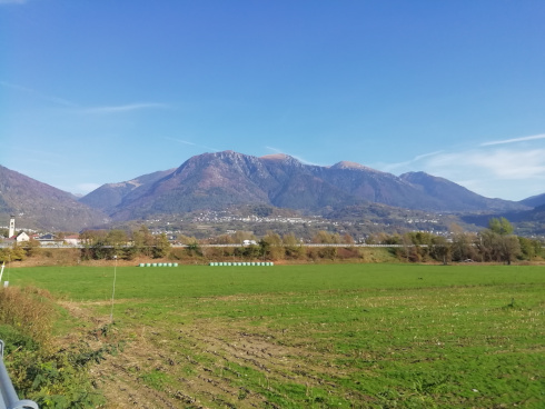
|  | | Titolo | Borgo Valsugana | | Testo | | | Link | | | Allegato | | | Altimetria | da 0 metri a 0 metri | | Distanza | 0 metri in linea d'aria, 0 metri percorsi |
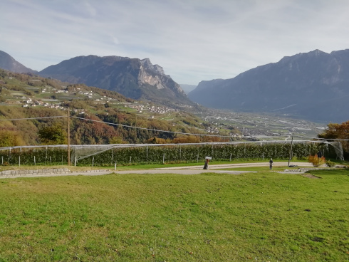
|  | | Titolo | Inizia la salita | | Testo | | | Link | | | Allegato | | | Altimetria | da 0 metri a 0 metri | | Distanza | 0 metri in linea d'aria, 0 metri percorsi |
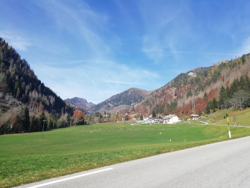
|  | | Titolo | Localita Calamento 1200 s.l.m. | | Testo | | | Link | | | Allegato | | | Altimetria | da 0 metri a 0 metri | | Distanza | 0 metri in linea d'aria, 0 metri percorsi |
|  | | Titolo | Malga Baessa | | Testo | | | Link | | | Allegato | | | Altimetria | da 0 metri a 0 metri | | Distanza | 0 metri in linea d'aria, 0 metri percorsi |
| 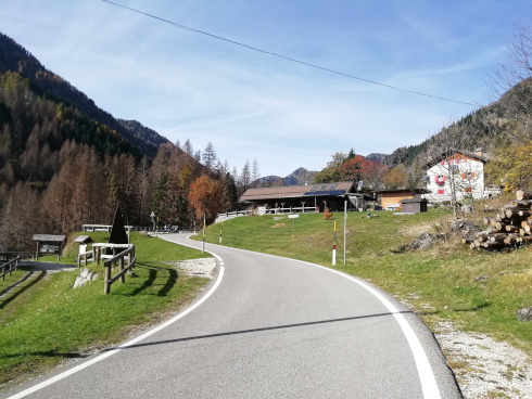 | | Titolo | Ora si fa tosta | | Testo | | | Link | | | Allegato | | | Altimetria | da 0 metri a 0 metri | | Distanza | 0 metri in linea d'aria, 0 metri percorsi |
| 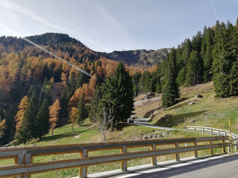 | | Titolo | Mai sotto il 9% di pendenza | | Testo | | | Link | | | Allegato | | | Altimetria | da 0 metri a 0 metri | | Distanza | 0 metri in linea d'aria, 0 metri percorsi |
| 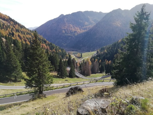 | | Titolo | Sembra un anfiteatro | | Testo | | | Link | | | Allegato | | | Altimetria | da 0 metri a 0 metri | | Distanza | 0 metri in linea d'aria, 0 metri percorsi |
| 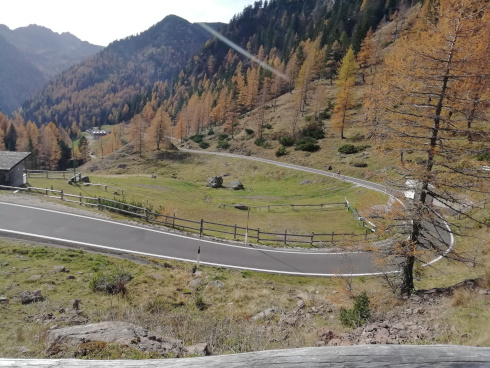 | | Titolo | E’ stata dura | | Testo | | | Link | | | Allegato | | | Altimetria | da 0 metri a 0 metri | | Distanza | 0 metri in linea d'aria, 0 metri percorsi |
| 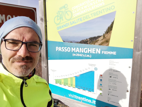 | | Titolo | Passo Manghen | | Testo | | | Link |  | | Allegato | | | Altimetria | da 0 metri a 0 metri | | Distanza | 0 metri in linea d'aria, 0 metri percorsi |
| 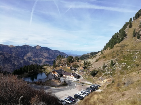 |
|
|